GPS IIR-8 (USA-166) & XSS 10
Launch Success
Liftoff Time (GMT)
18:06:00
Wednesday January 29, 2003
Watch Replay
24/7 Coverage
Mission Details
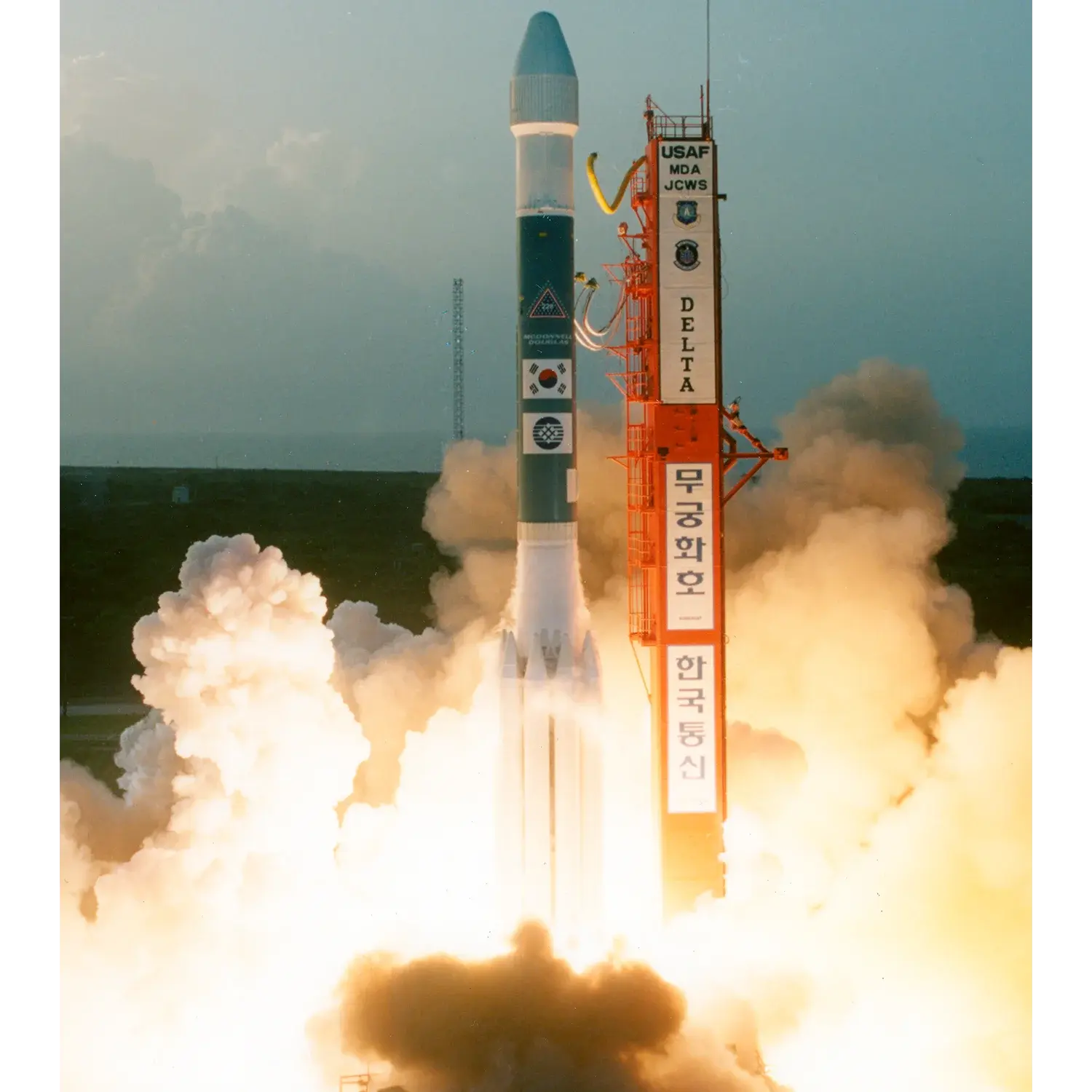
GPS IIR-8 (USA-166)
GPS IIR (Global Positioning System) or Navstar IIR (Navigation System using Timing And Ranging) are the third evolution stage of the second generation of the GPS satellites. The GPS IIR replenishment satellites were produced by General Electric Astrospace (later Martin Marietta and Lockheed Missiles & Space) under a contract issued in 1989, which included 21 satellites based on the commercial AS-4000 bus. These provided improved navigation accuracy and longer autonomous satellite operation than earlier model GPS satellites. The satellites were three-axis stabilized and operated at downlink frequencies of 1572.42 MHz and 1227.6 MHz (L-Band) and 2227.5 MHz (S-Band). Lockheed was responsible for launch and flight operations support of the GPS-IIR through 2006. Block IIR satellites provided dramatic improvements over previous blocks. They could determine their own position by performing inter-satellite ranging with other IIR vehicles. They also had reprogrammable satellite processors enabling problem fixes and upgrades in flight, increased satellite autonomy, and radiation hardness.
Medium Earth Orbit
1 Payload
2,032 kilograms
XSS 10
The Air Force Research Laboratory (AFRL) is building and demonstrating a new class of low-cost satellites – referred to as “micro-satellites” – weighing less than 100 kilograms. These new satellites are being flown under the XSS (Experimental Small Satellite) Microsatellite Demonstration Project. In conjunction with the Air Force Space Command, Air Force Space and Missiles Systems Center, the Naval Research Laboratory, and industry, missions are underway to actively evaluate future applications of micro-satellite technologies to include: inspection; rendezvous and docking; repositioning; and techniques for closein proximity maneuvering around on orbit assets. XSS-10 (Experimental Small Satellite 10), a 28 kilogram microsatellite, was launched as a secondary payload aboard a Delta-7925 launch vehicle carrying a Global Positioning Satellite (GPS) satellite. This mission demonstrated the complex interactions of line-of-sight guidance with basic inertial maneuvering. It was launched on January, 29. 2003.
1 Payload
28 kilograms
Rocket

Manufacturer
ULARocket
Height: 38.1m
Payload to Orbit
GTO: 1,819 kg
Liftoff Thrust
3,511 Kilonewtons
Fairing
Diameter: 2.9m
Height: 8.49m
Stages
3
Strap-ons
9
Launch Site
Stats
Delta II
105th
Mission
2nd
Mission of 2003
2003
5th
Orbital launch attempt