/
Himawari 9
Launch Success
Liftoff Time (GMT)
06:20:00
Wednesday November 2, 2016
Watch Replay
Official Livestream

Mission Details
Himawari 9
The Japanese Ministry of Transport Civil Aviation Bureau & Meteorological Agency ordered in 2009 two replacement geostationary meteorological satellites, Himawari-8 and -9, from MELCO. These satellites are to replace MTSat-1R (Himawari-6) and MTSAT-2 (Himawari-7). The two satellites are designed to remain in service for 15 years or more. Main instrument of the satellites is AHI (Advanced Himawari Imager). It is comparable to the Advanced Baseline Imager (ABI) on board of the U.S. GOES-R class satellites. AHI is a multi-purpose imager for weather watch, NWP utilization and environment monitoring; and wind derivation by tracking clouds and water vapor features. It features 16 channels operating in the VIS, NIR, SWIR, MWIR and TIR spectral bands (~0.43 - ~13.4 µm). It has a spatial resolution of 0.5 km to 2 km, depending on spectral band. The coverage cycle is 10 minutes for full disk. Also on board is SEDA (Space Environment Data Acquisition Monitor) to measure the radiation to which the satellites are exposed in their geostationary Earth orbits. It measures protons in the 15 MeV to 100 MeV range and electrons in 0.2 MeV to ~5 MeV range. The DCS (Data Collection Subsystem) supports the collection of surface-based observation data obtained by ground segments similar as in the earlier MTSAT series. DCS relays data from the ground through a UHF transponder, which emits a Ka-band signal.
Geostationary Transfer Orbit
1 Payload
3,500 kilograms
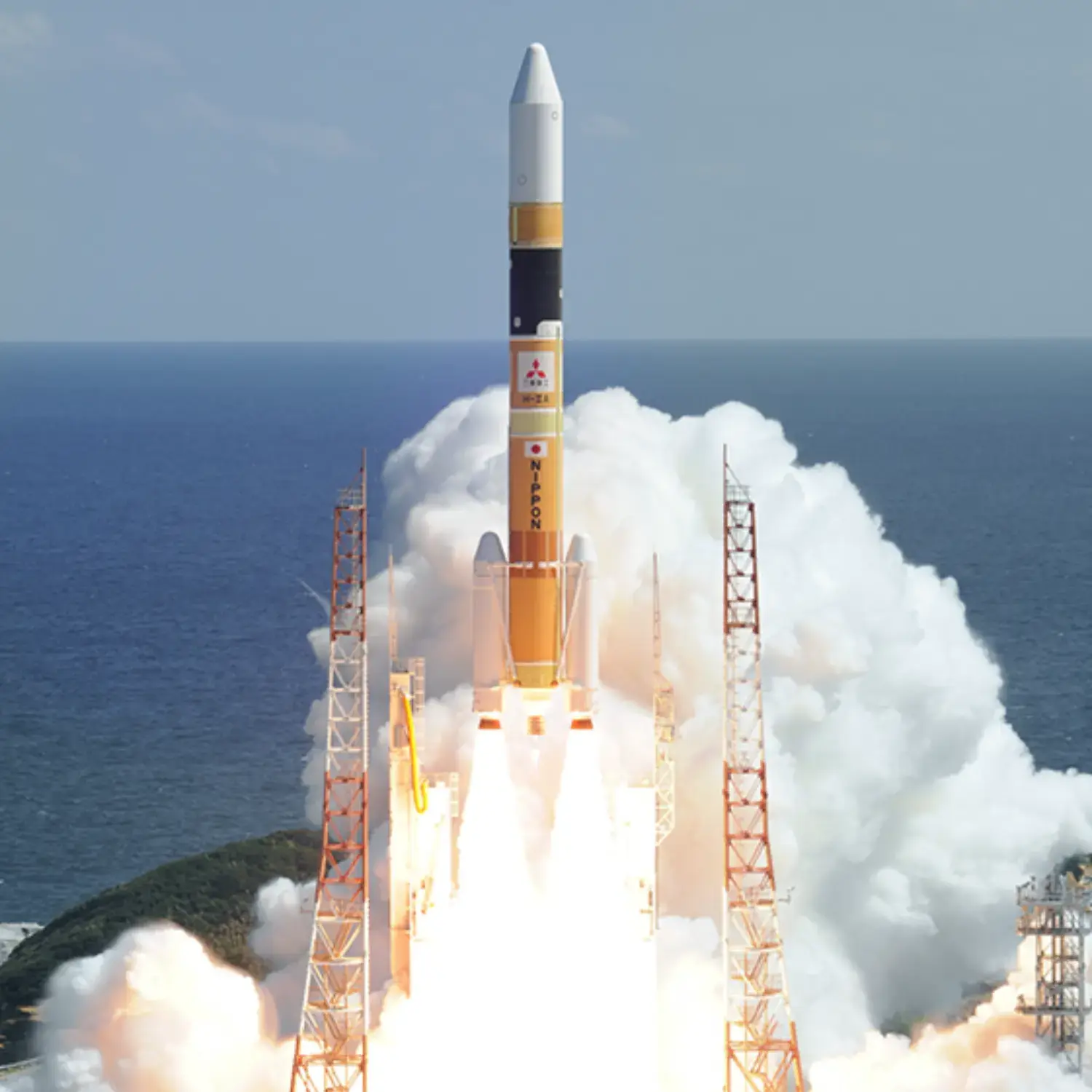
Launch Site
Stats
H-IIA
31st
Mission
2nd
Mission of 2016
2016
65th
Orbital launch attempt