/
Terrestrial Ecosystem Carbon Inventory Satellite (TECIS)
Launch Success
Liftoff Time (GMT)
03:08:00
Thursday August 4, 2022
Mission Details
Read Article
Terrestrial Ecosystem Carbon Inventory Satellite (TECIS)
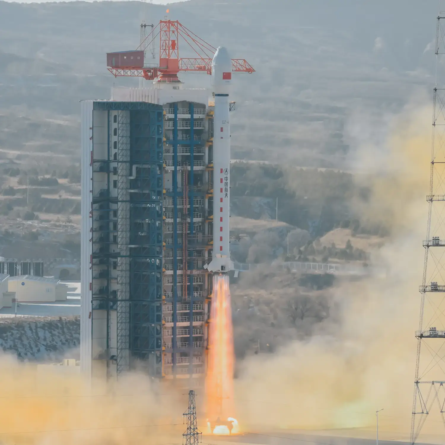
The Terrestrial Ecosystem Carbon Monitoring Satellite (TECIS) is intended to evaluate forest biomass, measure atmospheric aerosol content, and detect photosynthetic fluorescence. These measurements will contribute to efforts to combat global warming. The satellite carries 4 instruments: Multi-Beam LIDAR, Directional Multi-Spectral Camera, Directional Polarization Camera, and Chlorophyll Fluorescence Hyper-Spectral Monitor (SIFIS) The satellite will operate in a sun-synchronous orbit at a height of 506 km, at 10:30 AM local time in the descending mode, with a designed lifetime of 8 years.
Sun-Synchronous Orbit
1 Payload
Rocket

Agency
CASCPrice
$64.68 million
Rocket
Height: 46.97m
Payload to Orbit
LEO: 4,200 kg
GTO: 1,500 kg
Liftoff Thrust
2,993 Kilonewtons
Fairing
Diameter: 3.8m
Height: 11.74m
Stages
3
Launch Site
Stats
Long March 4B
46th
Mission
1st
Mission of 2022
2022
93rd
Orbital launch attempt